✨ New Arrivals Just Dropped!Explore

1 / 7
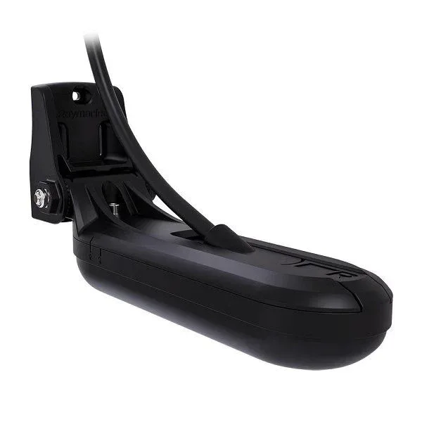
Raymarine AXIOM 2 9" Chartplotter + Northern Europe Map
Raymarine AXIOM 2 9" Chartplotter + Northern Europe Map is a powerful and clear navigation solution that provides better overview and a ready-to-use chart package right from the start. The larger 9-inch display makes it easy to follow routes, interpret marine charts, and navigate both inland waters and along the coast.
The six-core processor combined with the LightHouse operating system ensures fast and smooth performance. Zooming, panning, and chart updates happen without delay, improving situational awareness and making navigation safe in all conditions.
The included Northern Europe map makes the unit ready to use immediately. You get detailed charts of waters in Sweden, Finland, and nearby areas without the need for additional purchases, making this an excellent choice for active boaters.
The bright IPS touchscreen offers excellent visibility even in strong sunlight. The HydroTough™ surface repels water and ensures reliable operation even with wet hands.
Features:
• 9" IPS touchscreen (1280 × 720), brightness 1500 nits
• Includes Northern Europe Map
• LightHouse OS – fast and easy-to-use interface
• Six-core processor
• Built-in GPS (GPS, GLONASS, BeiDou)
• 64 GB internal memory + microSD card slot
• RayNet Ethernet (10/100/1000 Mbit)
• Wi-Fi and Bluetooth
• NMEA 2000 compatible
• Waterproof rating: IPX6 / IPX7
• Operating temperature: -25°C – +55°C
Compatibility and expansion:
• Compatible with Raymarine radar and cameras
• Supports engine data (e.g. Mercury, Yamaha, Suzuki)
• Supports over 30 apps
• Route planning and synchronization via mobile app over Wi-Fi
Package includes:
• AXIOM 2 9" Chartplotter
• Northern Europe Map
• Mounting bracket and hardware
• Sun cover
• Gasket for flush mounting
• Power cable and NMEA 2000 cable
• Documentation
$611.70
Original: $1,747.71
-65%Raymarine AXIOM 2 9" Chartplotter + Northern Europe Map—
$1,747.71
$611.70Product Information
Product Information
Shipping & Returns
Shipping & Returns
Description
Raymarine AXIOM 2 9" Chartplotter + Northern Europe Map is a powerful and clear navigation solution that provides better overview and a ready-to-use chart package right from the start. The larger 9-inch display makes it easy to follow routes, interpret marine charts, and navigate both inland waters and along the coast.
The six-core processor combined with the LightHouse operating system ensures fast and smooth performance. Zooming, panning, and chart updates happen without delay, improving situational awareness and making navigation safe in all conditions.
The included Northern Europe map makes the unit ready to use immediately. You get detailed charts of waters in Sweden, Finland, and nearby areas without the need for additional purchases, making this an excellent choice for active boaters.
The bright IPS touchscreen offers excellent visibility even in strong sunlight. The HydroTough™ surface repels water and ensures reliable operation even with wet hands.
Features:
• 9" IPS touchscreen (1280 × 720), brightness 1500 nits
• Includes Northern Europe Map
• LightHouse OS – fast and easy-to-use interface
• Six-core processor
• Built-in GPS (GPS, GLONASS, BeiDou)
• 64 GB internal memory + microSD card slot
• RayNet Ethernet (10/100/1000 Mbit)
• Wi-Fi and Bluetooth
• NMEA 2000 compatible
• Waterproof rating: IPX6 / IPX7
• Operating temperature: -25°C – +55°C
Compatibility and expansion:
• Compatible with Raymarine radar and cameras
• Supports engine data (e.g. Mercury, Yamaha, Suzuki)
• Supports over 30 apps
• Route planning and synchronization via mobile app over Wi-Fi
Package includes:
• AXIOM 2 9" Chartplotter
• Northern Europe Map
• Mounting bracket and hardware
• Sun cover
• Gasket for flush mounting
• Power cable and NMEA 2000 cable
• Documentation
The six-core processor combined with the LightHouse operating system ensures fast and smooth performance. Zooming, panning, and chart updates happen without delay, improving situational awareness and making navigation safe in all conditions.
The included Northern Europe map makes the unit ready to use immediately. You get detailed charts of waters in Sweden, Finland, and nearby areas without the need for additional purchases, making this an excellent choice for active boaters.
The bright IPS touchscreen offers excellent visibility even in strong sunlight. The HydroTough™ surface repels water and ensures reliable operation even with wet hands.
Features:
• 9" IPS touchscreen (1280 × 720), brightness 1500 nits
• Includes Northern Europe Map
• LightHouse OS – fast and easy-to-use interface
• Six-core processor
• Built-in GPS (GPS, GLONASS, BeiDou)
• 64 GB internal memory + microSD card slot
• RayNet Ethernet (10/100/1000 Mbit)
• Wi-Fi and Bluetooth
• NMEA 2000 compatible
• Waterproof rating: IPX6 / IPX7
• Operating temperature: -25°C – +55°C
Compatibility and expansion:
• Compatible with Raymarine radar and cameras
• Supports engine data (e.g. Mercury, Yamaha, Suzuki)
• Supports over 30 apps
• Route planning and synchronization via mobile app over Wi-Fi
Package includes:
• AXIOM 2 9" Chartplotter
• Northern Europe Map
• Mounting bracket and hardware
• Sun cover
• Gasket for flush mounting
• Power cable and NMEA 2000 cable
• Documentation